
Hunting Maps
Satellite, terrain, 3D and offline hunting maps
Scout new ground before you set foot on it. Switch between satellite, terrain, topo and night maps, see the land in 3D, and keep your maps when you lose signal.

Get the app on your phone
Scan the code with your phone's camera, or choose your store.
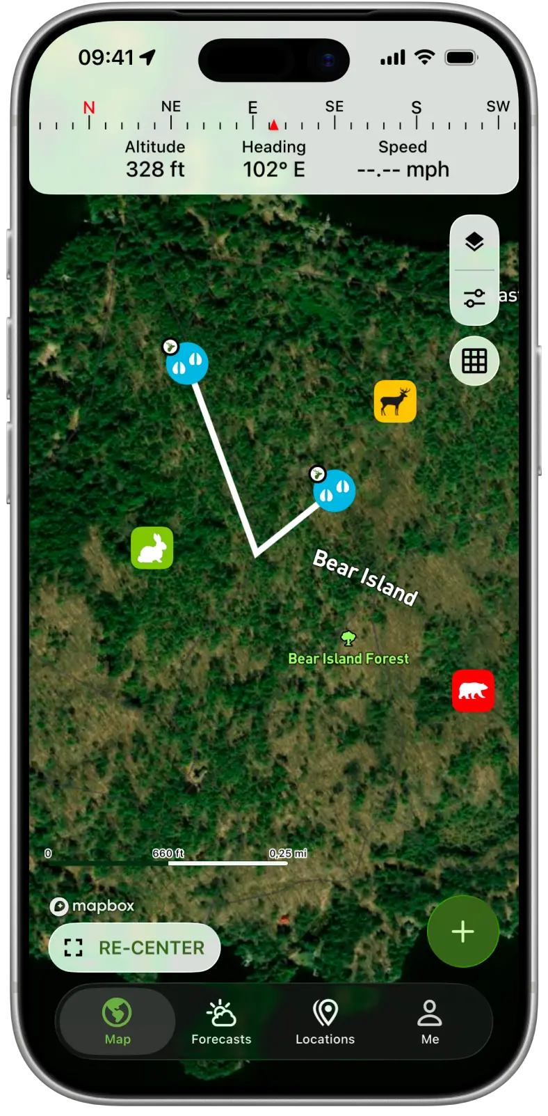
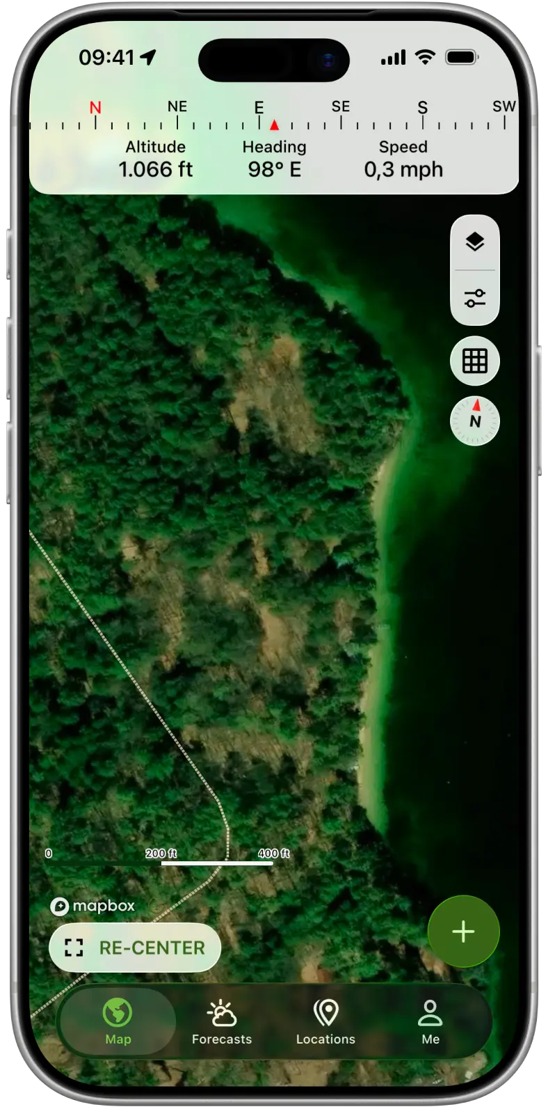
Scout from above on the satellite map
Spot field edges, clearings, timber and water from above, and find the funnels and pinch points worth a closer look before you walk in.
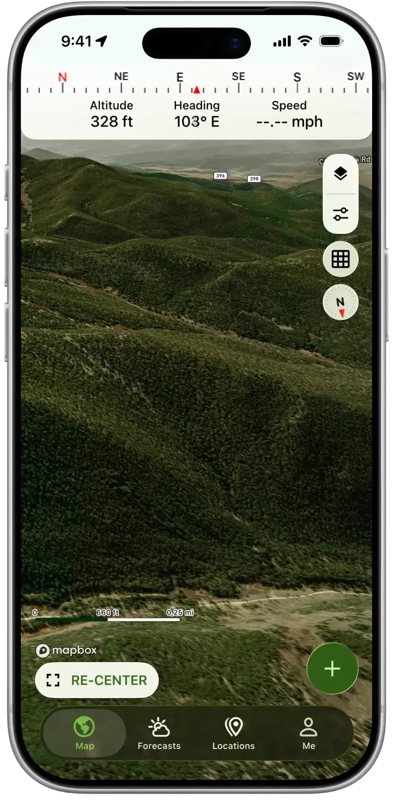
See ridges and valleys in 3D
The 3D view shows the shape of the land, so you can read ridges, saddles and draws and plan a route in that keeps you off the skyline.
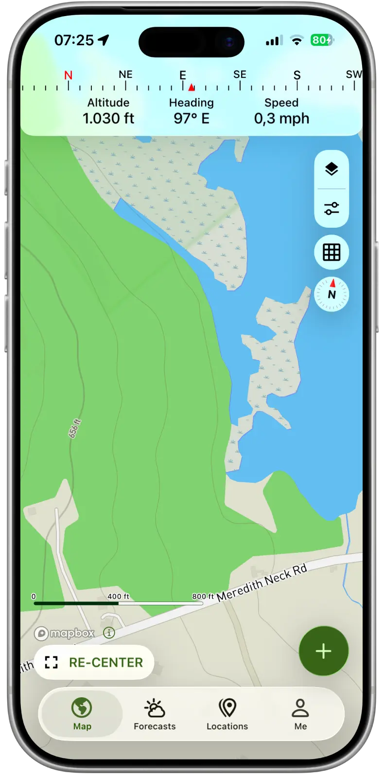
Read the lay of the land on the terrain map
The terrain map shows how the land rises and falls, so benches, ridges and bottoms stand out at a glance. Switch to topo or night maps whenever you need them.
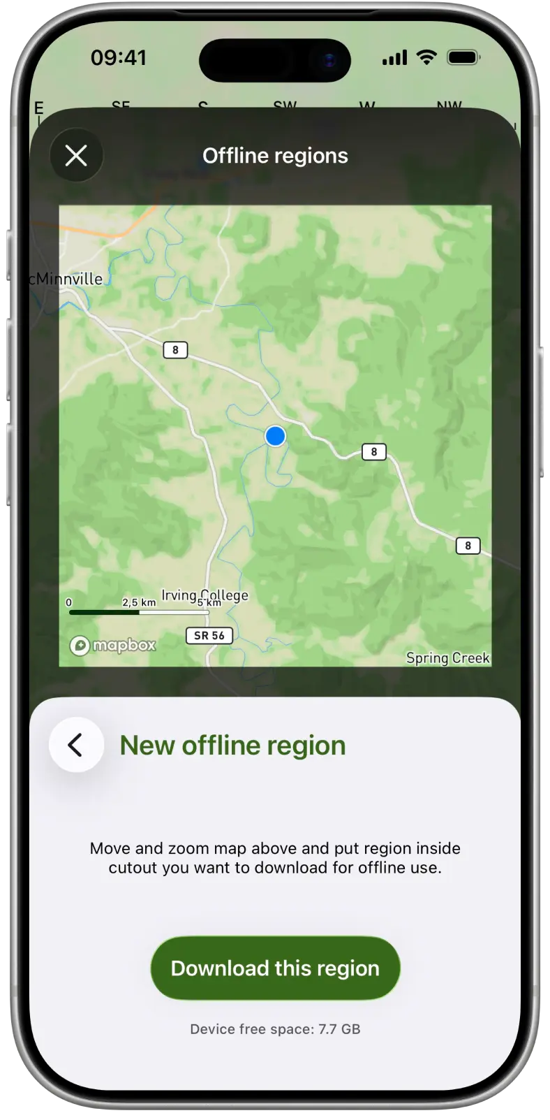
Offline maps for places without signal
Download the maps for your hunting area before you go. Your maps and your GPS position keep working when you lose cell service.
Offline maps come with limited storage for free. Premium adds more storage.
Questions and answers
Are the hunting maps free?
Yes. Satellite, terrain, topo and night maps and the 3D view are all free. Offline maps come with limited storage, and Premium adds more.
Do the maps work without cell service?
Yes, if you download them first. Download offline maps before you go, and the app keeps tracking your location without a signal. Property lines need an internet connection.
How much can I download for offline use?
The free app includes limited offline storage. Premium adds more storage for offline maps.
Can I see property lines on my map?
Yes, with Premium. Property lines appear on your map in the United States, Canada, the United Kingdom, Australia and New Zealand.
Scout your next hunt from your phone
Free download. More offline map storage with Premium.
Get the app on your phone
Scan the code with your phone's camera, or choose your store.