
Know the land. Read the wind. Hunt at the right time.
Property lines and landowner info, wind and weather forecasts, GPS and offline maps. All in one hunting app.

Get the app on your phone
Scan the code with your phone's camera, or choose your store.
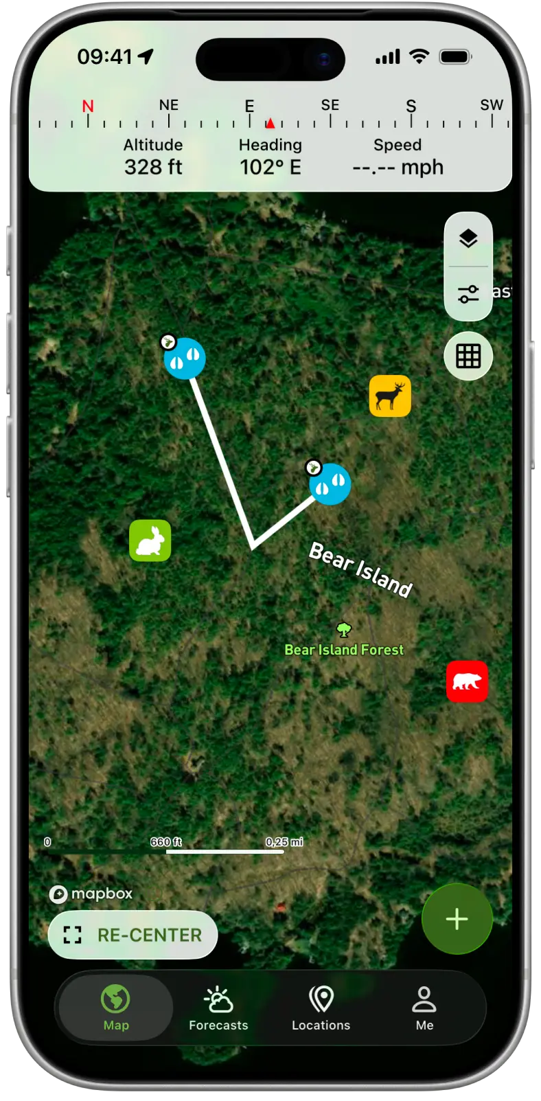
Property Lines
Know whose land you're on
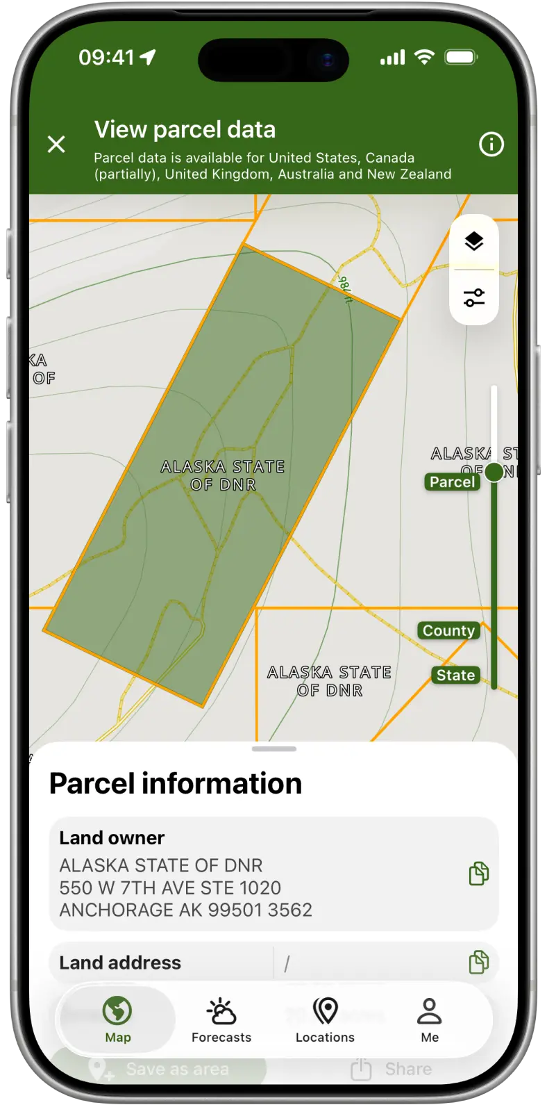
See property lines on the map and tap any parcel for the owner's name and address, the acreage and other available parcel data. Find out who owns that field before you knock on the door.
- Private and public land boundaries
- Landowner name and address (US and parts of Canada)
- Save any parcel as a hunting area
- Available in the US, Canada, the UK, Australia and New Zealand
Weather
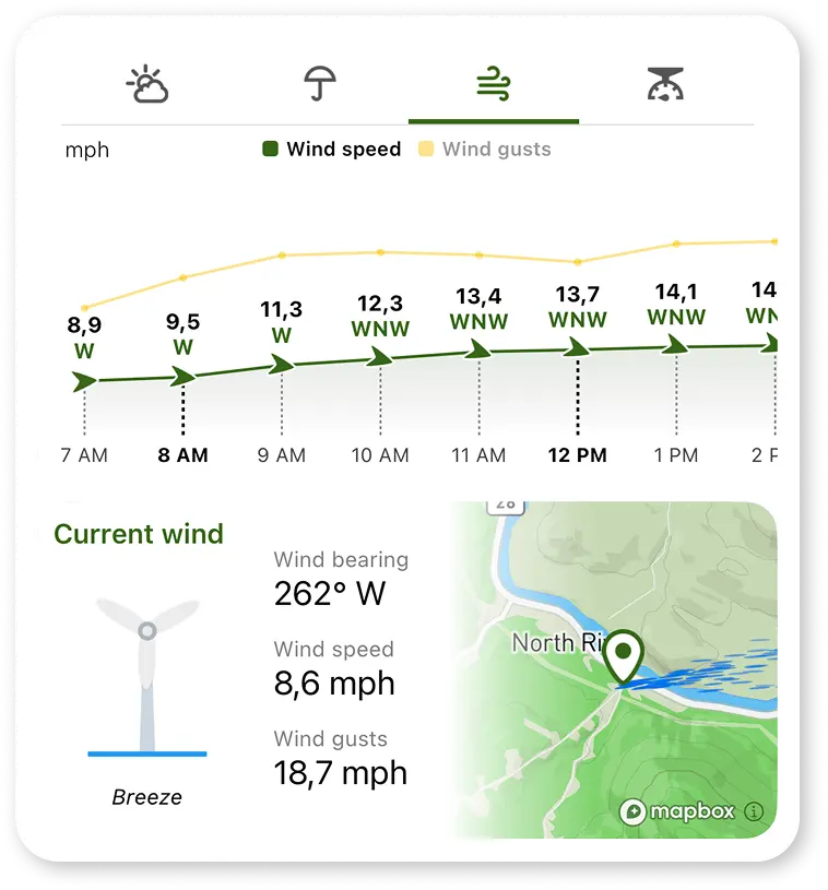
Check the wind before you walk in
Hourly wind, temperature, precipitation and pressure for your spot, so you can pick the right stand and plan your approach.
- Hourly wind speed, direction and gusts
- Current conditions, hourly and 7-day forecast
- Severe weather alerts
Rain Radar
Watch the rain move in
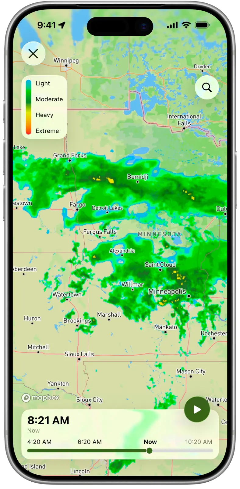
Rain radar on the map shows where it's raining now, where the rain has been and where it's heading.
- Live rain radar
- Look back at past radar and ahead at the forecast
- Spot storms before you head out
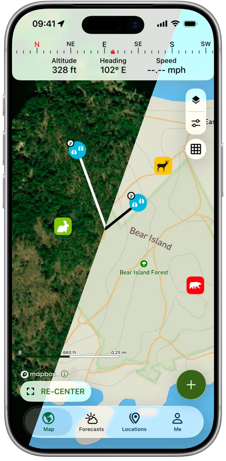
Locations & Tracks
Save every stand, camera and track
Mark your tree stands, trail cameras and hotspots, record your tracks and draw your hunting areas. GPS and the compass get you back to them, even in the dark.
- Save locations, record tracks and draw areas
- Navigate back with GPS and compass
- Measure distances and areas
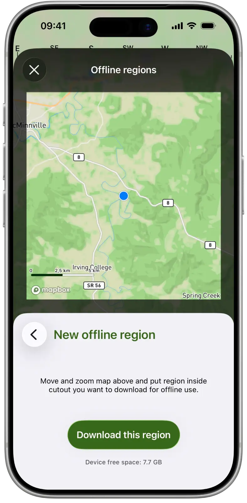
Offline Maps
Keep your map when you lose signal
Download the maps for your hunting area before you go. Your maps and your GPS position keep working when you lose cell service.
- Download maps for your hunting area
- See your GPS position without a signal
- Record tracks without cell service
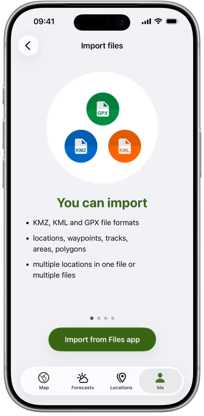
KMZ/GPX Import
Bring your waypoints with you
Import locations, tracks and areas from KMZ and GPX files, whether they come from your GPS device, another app or a hunting buddy.
- KMZ and GPX files
- From GPS devices, other apps and other hunters
- All on one map with your saved spots
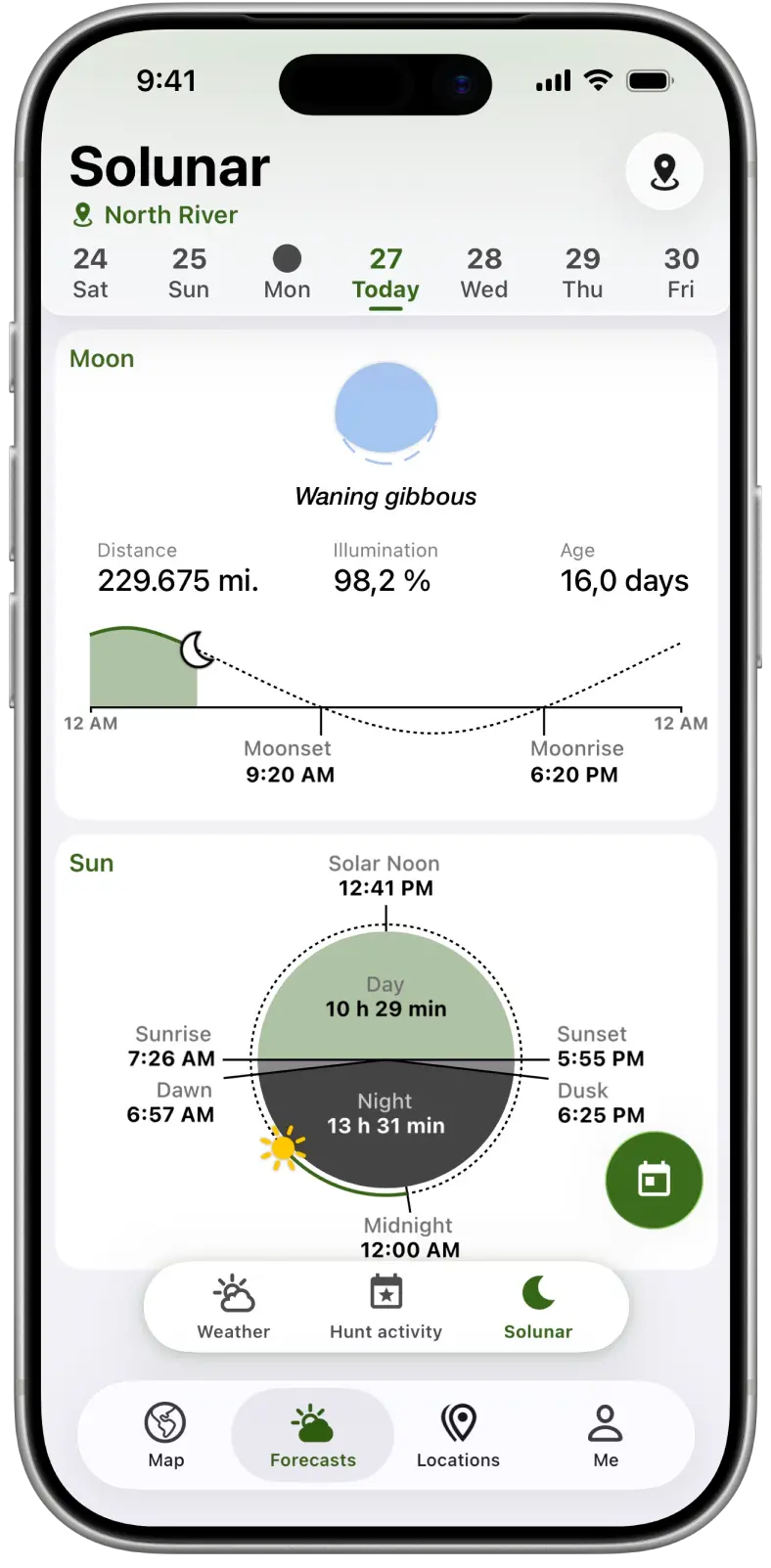
Solunar
Plan around the sun and moon
Sunrise, sunset, moonrise, moonset and the moon phase for your hunting spot, so you know how much light you'll have.
- Sunrise, sunset and solar noon
- Moonrise, moonset and moon phase
- Sun and moon positions
More tools for the field
- Hunting Maps Terrain, satellite, topo and night maps, plus a 3D view.
- Hunt Activity Hourly deer activity forecast with major and minor feeding times.
- River Data Water levels and flows from 35,000+ river stations worldwide. 7-day history with Premium.
- Trophy Room Your harvest log. Save every catch with photos, the gear you used and the conditions on the day.
- Compass Heading and course over ground at a glance.
- Sharing Send locations to your hunting buddies.

Rated 4.6 on the App Store
From 5,800+ ratings.


Questions and answers
Is Hunting Points free?
Yes. Hunting Points is free to download and use. Premium is an optional monthly or yearly subscription that adds property lines, forecasts for the days ahead, past and future radar, 7-day river level history, KMZ/GPX import, more saved items and more offline map storage.
Where are property lines available?
In the United States, Canada, the United Kingdom, Australia and New Zealand. Landowner names and addresses are available in the US and parts of Canada.
Does it work without cell service?
Yes. Download offline maps before you go, and the app keeps tracking your location without a signal. Property lines need an internet connection.
Can I import waypoints from my GPS or another app?
Yes. With Premium you can import locations, tracks and areas from KMZ and GPX files, from GPS devices, other apps or other hunters.
Do I need an account?
No. Download the app and start saving your spots.
Which phones does it work on?
iPhones with iOS 16 or later, and Android phones with Android 10 or later.
Get Hunting Points
Free download for iPhone and Android.
Get the app on your phone
Scan the code with your phone's camera, or choose your store.